Book aerial photography for acreage, agricultural property, and vacant land in LaBelle and Hendry County. Ground and Air Ops helps listing agents and landowners show how a parcel is laid out and what visitors can expect when they arrive.
Photography and drone fees. Additional fees may apply based on mileage from Bonita Beach (34134), property or project size, and location. Request a quote before paying a deposit. Contact us for a quote.
What to capture on a rural property
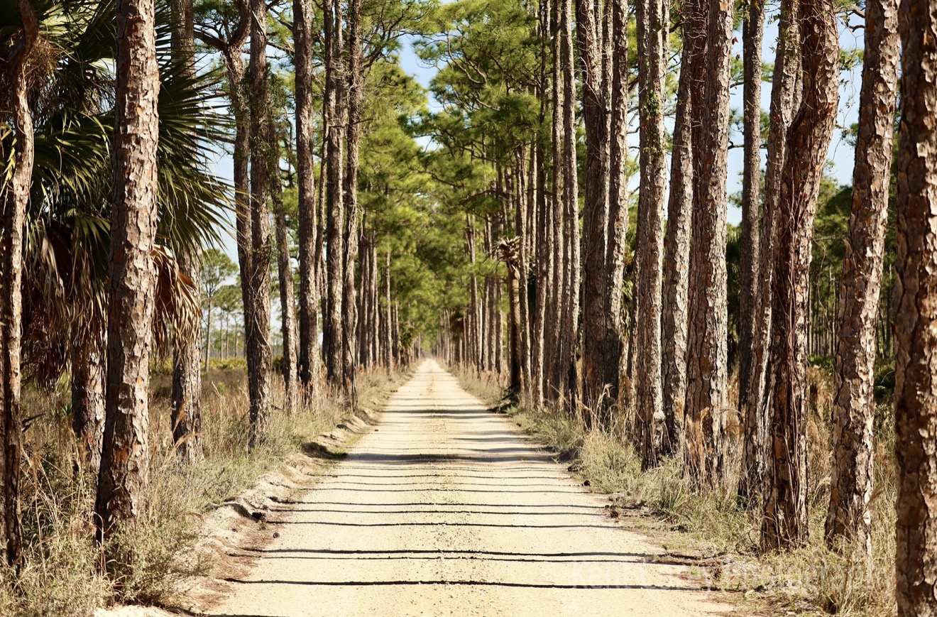
Start with the road approach and gate, then document the visible drive, open areas, structures, and neighboring context. Tell us if a riverfront area, fence line, pond, barn, or utility access matters to the assignment. When appropriate, ground photos can show details that are hard to identify from above.
Send the parcel details before the visit
Include the parcel ID, map pin, access permission, gate instructions, and any surfaces or features the vehicle should avoid. Confirm if livestock, people, equipment, or other operations will be on site. For a large tract, list the viewpoints and deliverables in order of importance.
Coverage and limitations
The Vacant Land: Acreage/Ag package is $275, with a $100 non-refundable deposit applied to the total and a $175 balance. Photography documents visible conditions and can illustrate approximate context. It does not establish legal boundaries, acreage, or a survey. Aerial work depends on permission, authorization, weather, and safe conditions.
Travel from Bonita Beach: Send the property address or parcel location before paying a deposit so we can confirm travel details and quote any applicable charge up front.